WALKS IN THE SETTLE AREA
There are many, many fabulous walks in the Settle area.
Below are links to our favourites.
All the walks have been taken from WHERE2WALK, the highly recommended website of Jonathan, local Walking Guide and qualified Mountain Leader.
Click the link below each walk for a FREE map, downloadable GPX file and navigation tips.
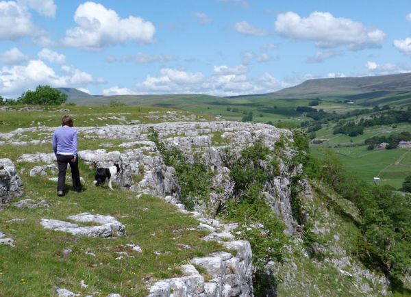
Settle Walk with a View
3.5 miles - Easy with uphill sections
The market town of Settle is sandwiched between the River Ribble and the beautiful limestone scenery of the SW Dales. Aside from a short, sharp climb at the start this is an easy walk on good tracks and the best way to appreciate the lovely landscape of this part of the Yorkshire Dales.
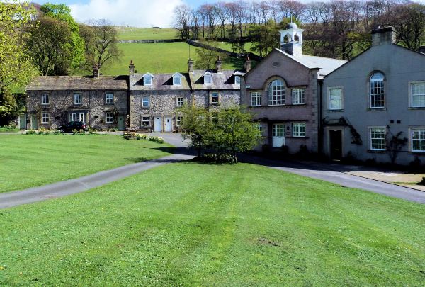
Settle and the River Ribble
7 miles - Moderate
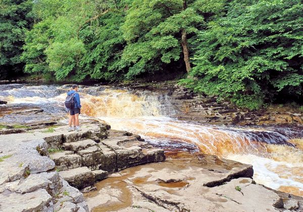
There are a number of lovely villages near Settle and the River Ribble. There are also two excellent waterfalls, dramatic limestone scenery and isolated farms on the higher sections of the walk.
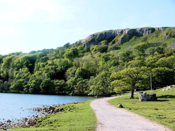
Malham Tarn & Littondale
11.5 miles - Moderate+
Between Malham Tarn and Littondale lies a broad expanse of high moorland covered in limestone outcrops and scars. The villages in Littondale are delightful.
Climb Pen-y-Ghent
9 miles - Moderate+
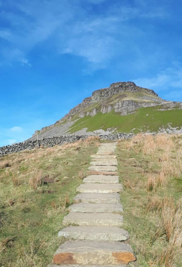
Pen-y-Ghent from Horton is the classic climb on this iconic Dales mountain. The walk is much improved by continuing on the mile long ridge to Plover Hill.
Austwick & Crummackdale
8 miles - Moderate
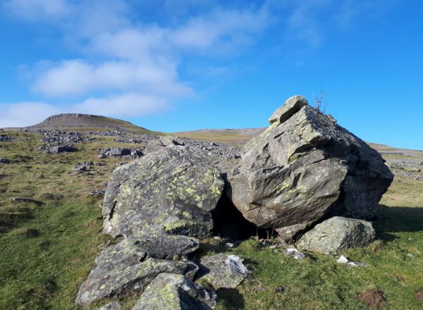
If I was ever asked to name where I believe the Dales landscape at its best then I would describe this walk from Austwick and Crummackdale. It is a geological lesson come alive with simply magnificent limestone scenery throughout. The views to Pen-y-Ghent and Ingleborough are pretty good too.
Whernside from Ribblehead
8 miles - Difficult
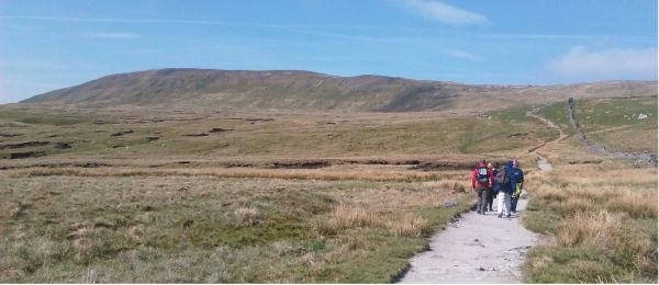
The climb of Whernside from Ribblehead is one of the most popular walks in the Yorkshire Dales. Any walk combining the superb viaduct at Ribblehead with the highest point in Yorkshire must be good.
Hidden Treasures of Malham Tarn
7 miles - Moderate
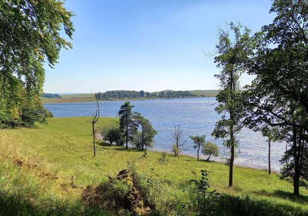
This walk at Malham Tarn avoids much of the traditional route but includes the short climb to the excellent viewpoint of Great Close Hill. From here the route changes as it passes through some excellent limestone scenery to the north of the tarn.
Horton to Settle
8 miles - Moderate
There are many alternatives in this one way walk from Horton to Settle. A high level route via Pen-y-Ghent or a riverside stroll along the River Ribble give two. There is a third which heads west towards Feizor.
Bluebells at Oxenber Woods
2.5 miles - Easier
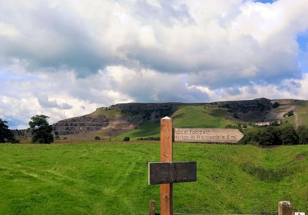
Oxenber Woods, near Austwick, is one of the best places to view wild flowers. In particular the spectacular display of bluebells in late Spring (usually May). Oxenber Woods sits on a small hill of exposed limestone bringing out the very best in wild flowers. The views over Crummackdale aren’t half bad as well!
8 Stiles Walk Around Long Preston
2 miles - Easier
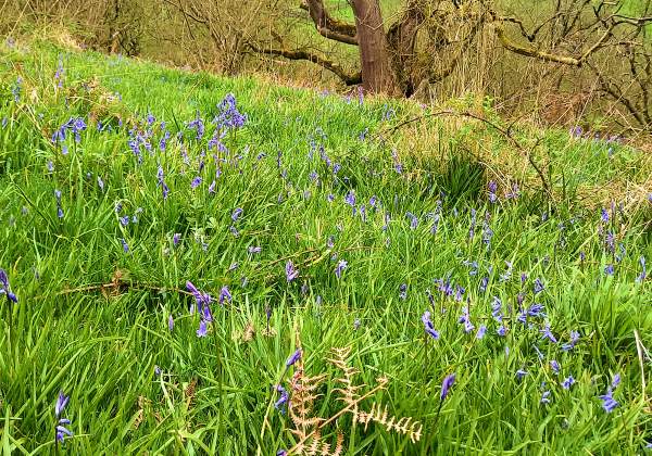
The Long Preston walk is know locally as the Eight stiles walk as there are that number to cross on the second half of the walk. There is also a lovely section of riverside walking, good views over Pendle Hill and a Norman church to explore.
Long Preston Deeps
11.5 miles - Moderate+
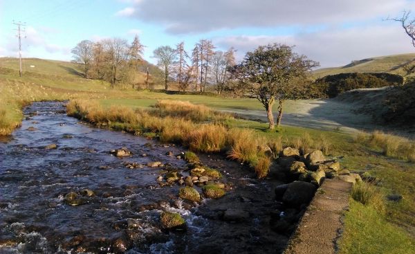
Long Preston Deeps is a wetlands project on the River Ribble near Long Preston. The flood plain on the valley floor makes it perfect and the bird life is excellent. The walk continues alongside the River Ribble to Settle. A return via train or over the tops makes for a grand circular.
Lanes Above Long Preston
8 miles - Moderate
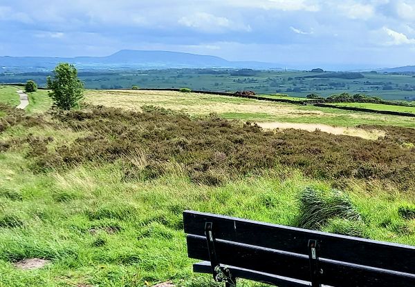
The lanes above Long Preston offer a wonderful selection of walks which will suit all walkers. This one takes you along country lanes, visits a waterfall and passes through stunning Dales countryside.
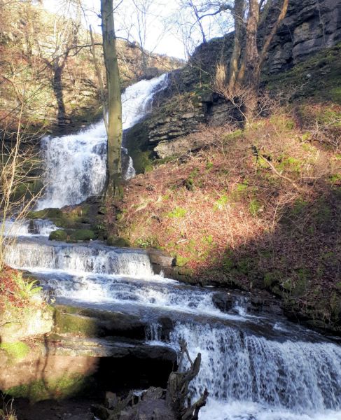
Long Preston and Otterburn
9 miles - Moderate
The countryside between Long Preston and Otterburn is rarely visited by the walker. It is brilliant to explore and full of pleasant (and sometimes less so) surprises. A little bit of an adventure.
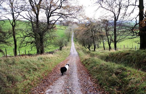
Ingleborough from Clapham
11 miles - Difficult
The climb of Ingleborough from Clapham one of the finest walks in the Yorkshire Dales. The ascent is full of interest and the descent takes you through some of the finest limestone pavements around.

Ingleborough Nature Reserve
4 miles - Easier
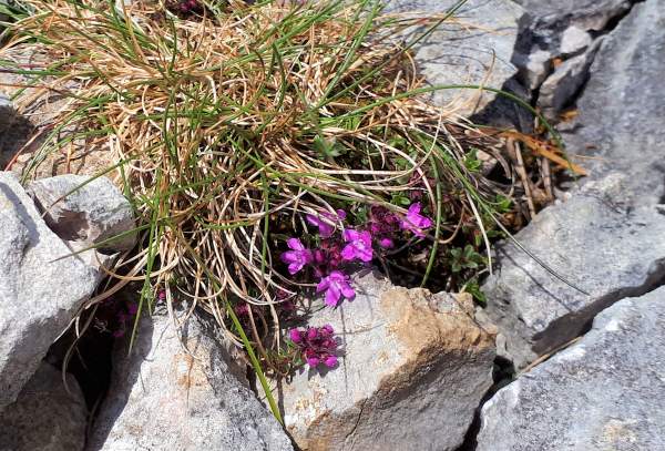
Ingleborough Nature Reserve is a vast area of spectacular limestone pavements and scars along the eastern and southern slopes of Ingleborough. Any walk through the area is a joy but best when the limestone is dry.
Yorkshire 3 Peaks
24 miles - Difficult
The Yorkshire 3 Peaks is a major and popular mountaineering challenge. Twenty four and a half miles and over 5,000 feet of climbing across the highest land in Yorkshire are the raw details of an exceptional day.
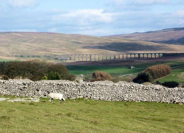
Settle Loop
10 miles - Moderate+
The Settle Loop is a popular walk for walkers and cyclists. The whole walk is dominated by the beautiful limestone scenery of this area. The tracks are good as it passes through isolated farms, stone walls and sheep.
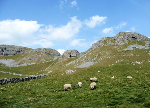
Airton and Kirkby Malham
4 miles - Easy with uphill sections
Airton and Kirkby Malham are two attractive villages to the south of popular Malham. The walk along the riverside follows the Pennine Way before returning over the farmland to the west.
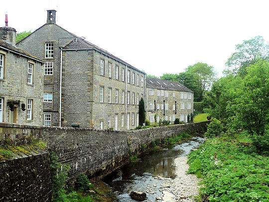
Ingleton Waterfalls Walk
4.5 miles - Easy with uphill sections
A series of waterfalls drop off the slopes of Whernside. The Ingleton waterfalls walk follows one river up stream and a second down stream. As a result the spectacular drops and pools create some lovely falls.
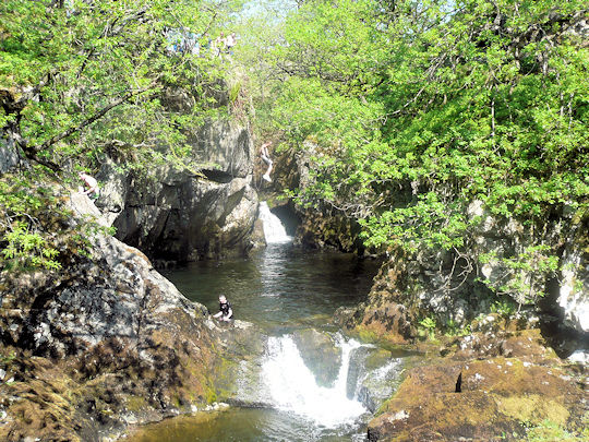
Gordale Scare and Malham Tarn
7.5 miles - Moderate
The classic walk in Malham visits Janet’s Foss, Gordale Scar and Malham Tarn. The walk finishes by climbing down the stone steps alongside Malham Cove, surely the best recognized site in The Yorkshire Dales.
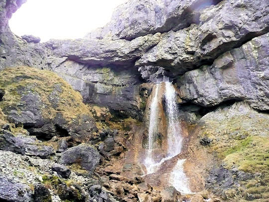
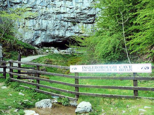
Ingleborough Cave
3 miles - Easy with uphill sections
The short walk to Ingleborough Cave is best taken through the mixed woodland of Clapdale. The walking is easy. There are plenty of pleasant places to enjoy the view over the lake and information on the trees, shrubbery and bird life.
Ingleborough from Ribblehead
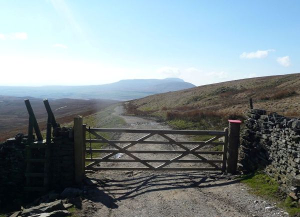
9.5 miles - Difficult
The climb of Ingleborough from Ribblehead starts on the steep slopes of Park Fell. From here the going is good. In addition take it the Dales 30 peak of Simon Fell before heading for the summit plateau of Ingleborough.
Heart of the 3 Peaks
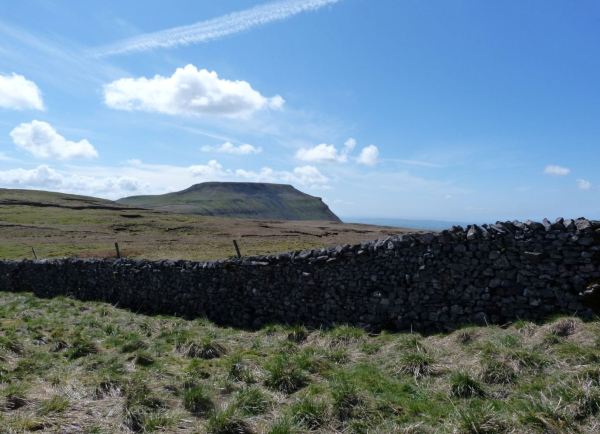
14.5 miles - Moderate+
For those that wish to gain great view of the 3 Peaks without having to climb any this walk is perfect. The walk passes through the heart of the area and is full of variety and interest.
Malham Cove
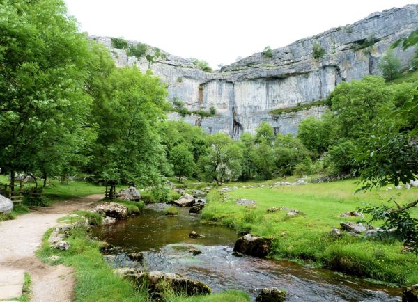
2 miles - Easy with uphill sections
Malham Cove is a spectacular face of rock that is climbed by stone steps on its western fringe. The limestone pavements on it’s top are rightly world famous with good views over the stone walls and fields of the area.
Catrigg Force from Stainforth
2 miles - Easy with uphill sections
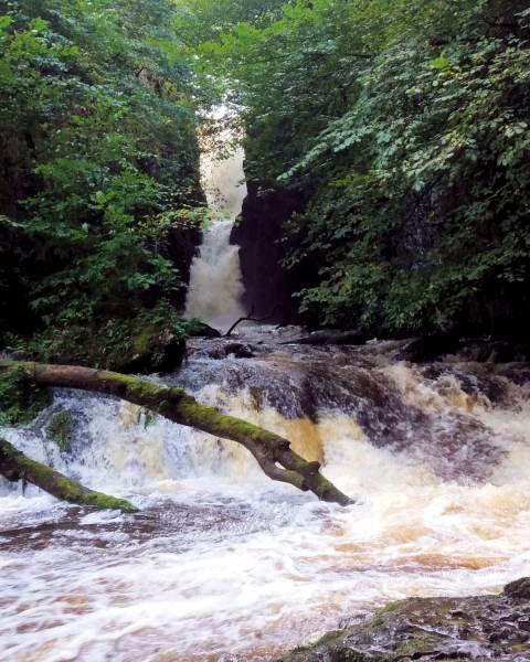
A short walk to the lovely waterfall of Catrigg Force from Stainforth. Woodland disguises the falls which are at their most impressive after heavy rains. The return is via a path picking its way through a limestone scar.
Walking near Feizor
4 miles - Easy with uphill sections
There is some lovely limestone walking near Feizor. Scars and pavements abound. In addition the views across to Pen-y-Ghent are good and the cafe in Feizor is the best around.
